
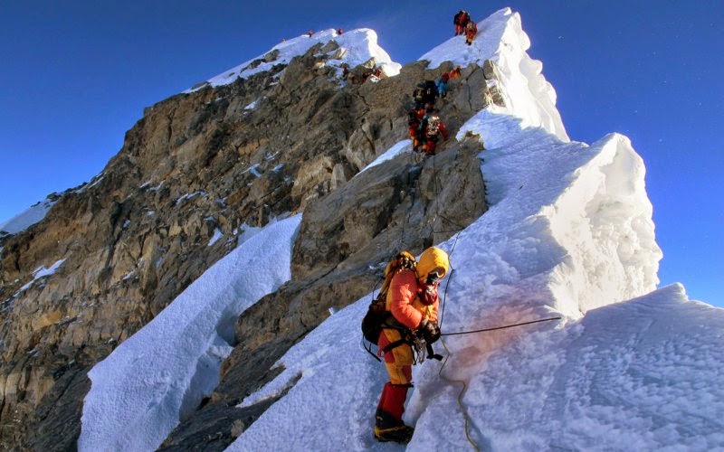
As a result of strong shocks during the earthquake measuring 7.9 on the Richter scale struck Nepal on Saturday (25/4), the height of Mount Everest reportedly reduced.
This fact was revealed when the radar satellites of Europe, Sentinel 1-A, across the region affected by the earthquake on Wednesday (29/4). After conducting aerial surveillance, the highest mountain peak in the world has now shrunk to 2.8 centimeters.
According to a report of a geological research consortium of non-profit, UNAVCO, The Mount Everest height reduced can be seen from the decline in the Earth's crust.
While Everest shrink, plains around Kathmandu experienced a high increase. Referring to the report, the area of over 120 kilometers and cross 50 kilometers from Kathmandu grow up to one meter high. Addition of the biggest high occurred in the area within 17 kilometers from the center of Kathmandu.
Satellite data are still raw and will be analyzed again by a team of scientists within the next few weeks. A professor of geology at the University of Colorado Boulder, Roger Bilham, said that the depreciation of Mount Everest is estimated that only one to two millimeters.
This earthquake hit Nepal in a radius of 83 kilometers from Kathmandu with a depth of 15 kilometers. It is estimated that, the total death toll in this disaster may exceed the victims of the earthquake in 1934 that killed 8,500 people in Nepal. This disaster touted worst disaster that hit the country of 28 million inhabitants.
Share this

EmoticonEmoticon